Yesterday, I had the pleasure of dropping off two of my paintings for a three month show at The Overlook. It was the first time I submitted for this particular show. I was very excited to learn I was accepted. The theme for the show is CONTRASTS which lends itself to a variety of definitions. The curator of the show defined it as:
Contrasting colors, textures, ideas and probabilities –
interpretations of opposites and ironies, Yin and Yang.
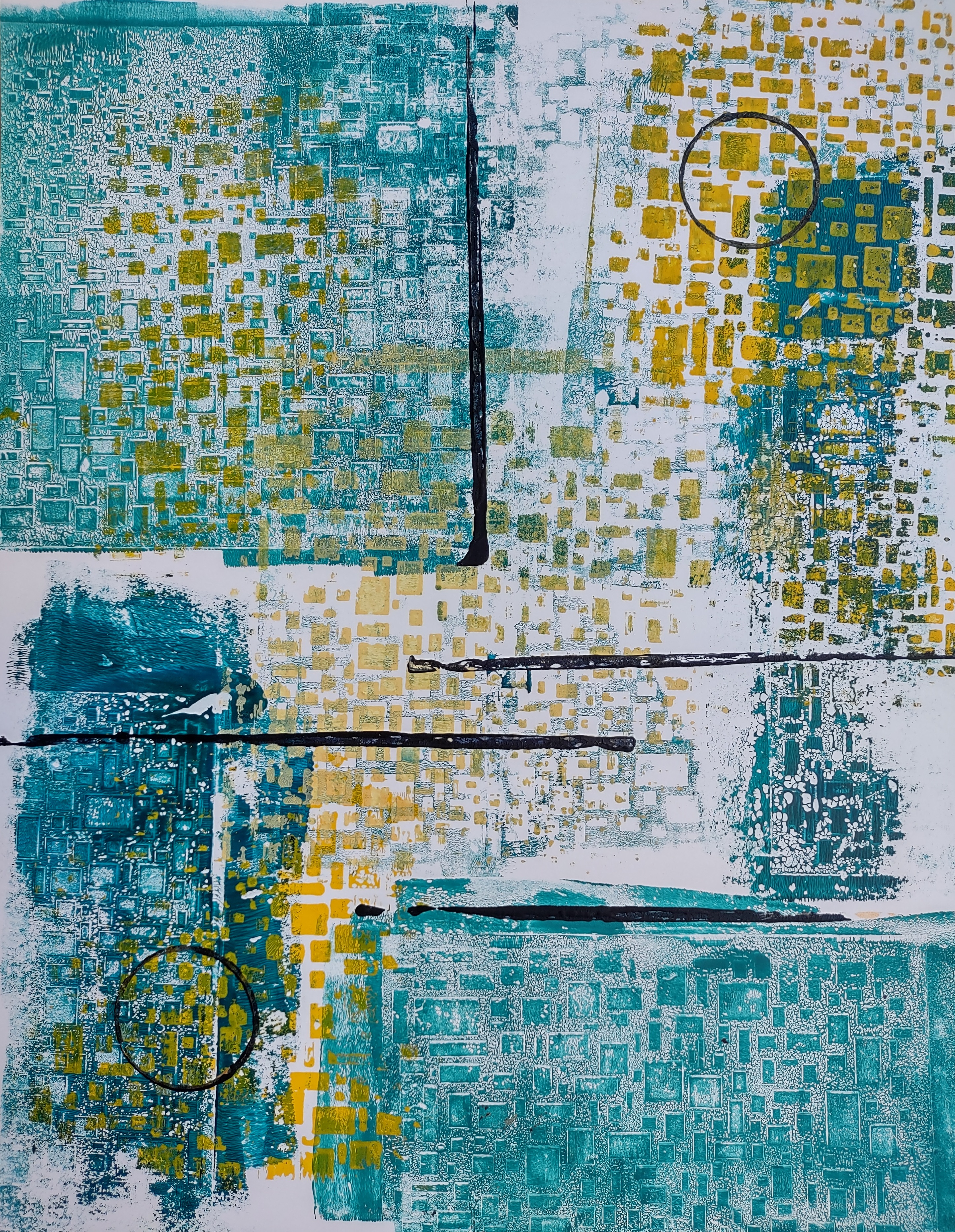
The first piece is one I painted earlier in 2025 and takes the literal approach to contrasting colors. When I finished this painting I wasn’t sure where it should “live”. I slid it into my portfolio and waited for the right opportunity. When the CONTRASTS open call went out I knew this was the piece to submit.

© Kathie Scrimgeour
11×14 monotype print on Bristol paper
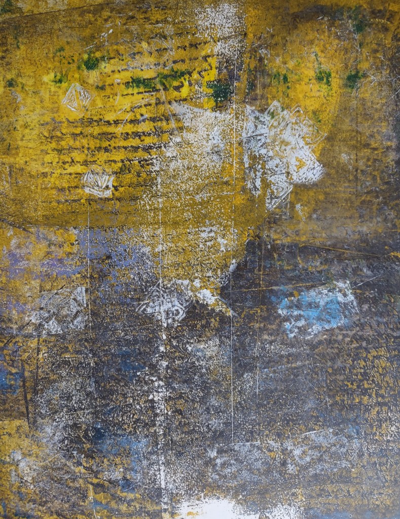
The call allowed for a total of three pieces of artwork so I needed two more. I had been brainstorming a painting for months that would combine a photograph into the piece.

© Kathie Scrimgeour
20×24 Gel Monotype Print with image transfer on Bristol paper
To Dream actually came to me one evening while I was falling asleep. I found the idea to be a perfect juxtaposition of the waking vs the dreaming worlds. Plus it fit the requirements of the open call perfectly. In my efforts to produce this painting, I made the mistake of trying out a new process. This process should have been done with something smaller. When mounting the finished piece to the cradle board, the paper buckled. The painting was ruined. I did learn an important lesson, it was possible to replicate this piece. In the end, I did not attempt to mount this one. It was framed.
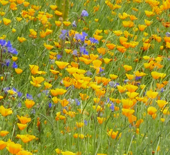
The last piece I submitted was, sadly, not accepted. After seeing all of the other artists’ work I understand why. Most, if not all, were abstract pieces and, as you can see, this is not.

©Kathie Scrimgeour
11×14 gel monotype print with image transfer on Bristol paper
I will freely admit, I LOVE THIS ONE!
The image is from a photograph that was inspired from an Unsplash photographer. Unfortunately, I have not been able to find their name to be able to apply the appropriate acknowledgment.
In the end, I was pleased when I heard two of the three were accepted. Thank you to the organizers for this honor.
If you are in the area please stop in for the show which runs until the first of the year.
The Overlook Restaurant
10555 N La Canada Dr
Oro Valley, AZ 85737