
Hiking Monarch Lake Trail and Cascade Falls Trail
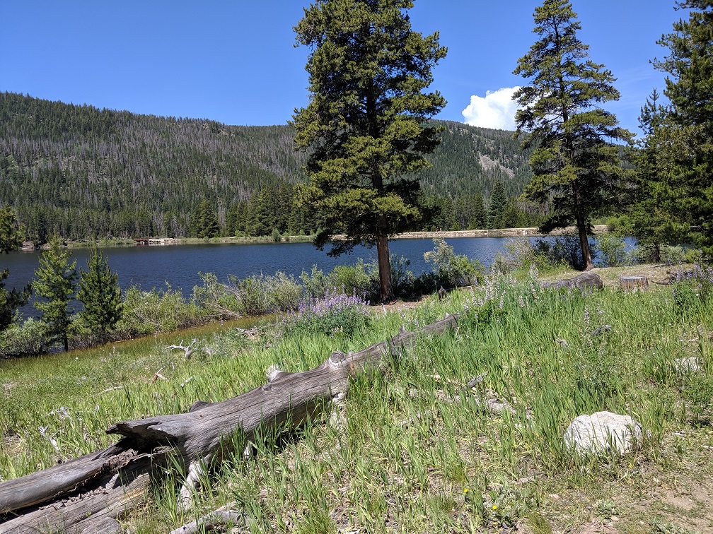
Monarch Lake trail system has several options to choose from to satisfy any hiker. Monarch Lake Trail is an easy 4.2 mile hike that winds around the circumference of the lake. The single track trail is mostly flat with a few rocky stretches. Perfect for even the youngest hiker. On leash Dogs are welcome, but remember to pack enough water for you and your fury friends.
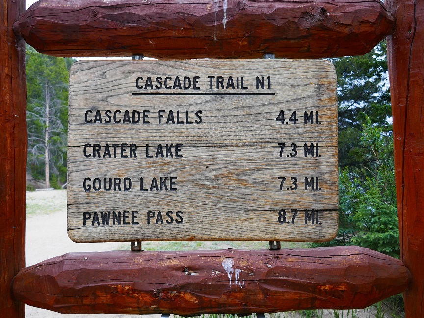
Close to the half-way point along Monarch Trail, you can either go all the way around the lake, turn back, or head off to the left, onto Cascade Falls Trail. If you take Cascade Falls Trail, you are in for a hard hike (8.8 miles round trip including the Monarch Lake Trail portion), but the top of the trail is so worth it. Depending on how far you actually go, this trail accesses Crater Lake (7.3 miles), Gourd Lake (7.3 miles) and Pawnee Pass (8.7 miles) where there are areas for camping.
We hiked up Cascade Falls Trail and the ascent started right off. As I said before, this trail is rated difficult and I agree that going up is quite a challenge. The altitude gain is enough to warrant a hot air balloon filled with spare oxygen. We are in good physical condition, and by the time we got back down to the base we were well worn. If you are not, know your limits. You have to get all the way back to the car so turn around before you are exhausted.
The hike up follows Cascade Creek. Depending on the time of year, the creek can be swollen with snow melt, or tumbling over the rocks later in the summer. Today the creek ran pretty high so we were treated to sections of wild running rapids (nothing to ride a tube down!).

There were plenty of spots to rest along the way, most above the creek, but still within earshot of the roar. We enjoyed three stops along the way. One was a little perch above the creek and another was creek-side. We initially thought this might be Cascade Falls. Out of curiosity, we continued up the trail and were rewarded with the falls. You will cross two bridges on your way up to the falls. Once you cross the second one you are getting pretty close. At least within a half mile.
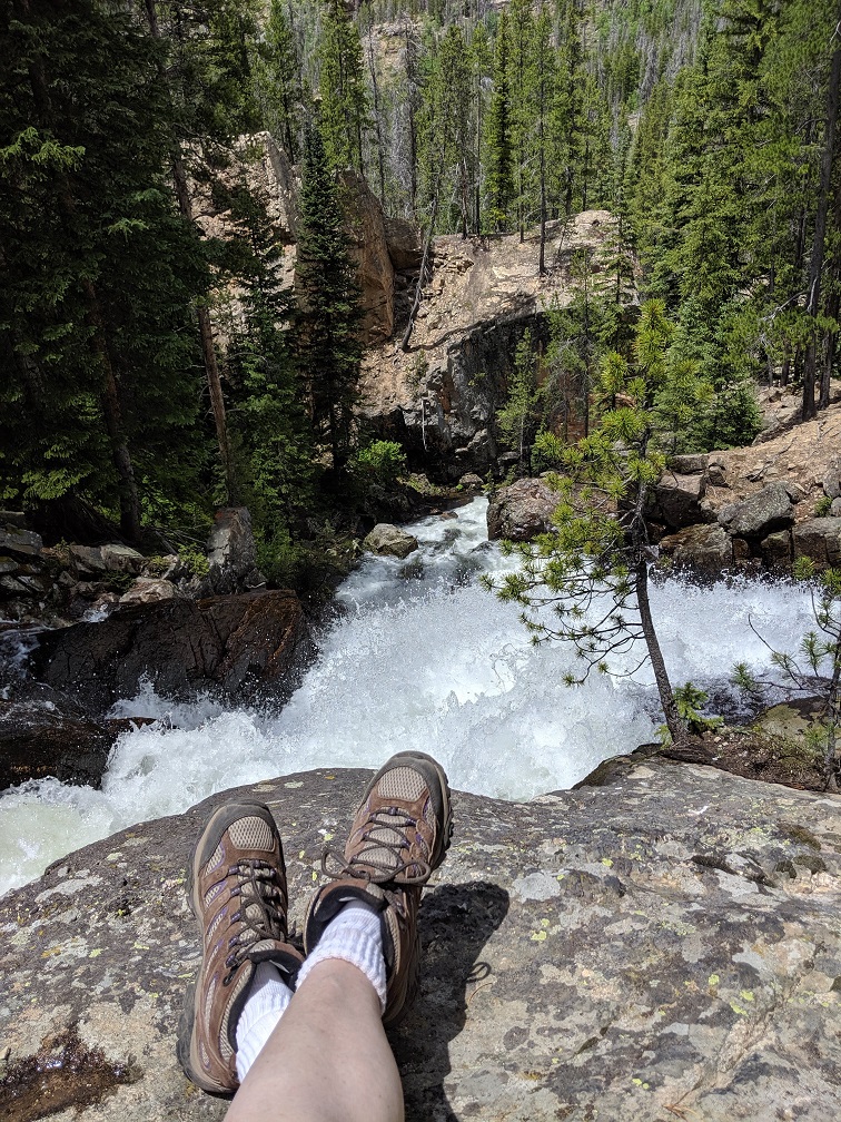
There are essentially two sections to the falls. One spot to view them is near the base of the falls themselves and the other on top. We rested on top for about an hour before we trekked back.
If you happen to do this hike, keep an eye out for a pair of women’s prescription glasses. I discovered I lost them about a mile down the trail. We went back up (adding about 2 miles to our hike) to look for them, but I fear they landed in the river at some point.
Monarch Lake’s trail system is fairly easy to get to from either Granby or Grand Lake. You will be in the Arapaho National Wilderness Area and will need a day pass. Bikes are not allowed on these trails.
Be ready for a thick layer of dust on your car. It’s a 10 mile drive on a dirt road. The parking lot is on the small side. It accommodates maybe 40 or 50 cars, but there is plenty of space to park along the road as well. This is a popular area to hike in so get there early to find a spot to park. We arrived in the afternoon (on a Saturday) and were lucky to get on of the last spots.
Directions: From Granby turn north onto U.S. Highway 34, travel approximately six miles to County Road (CR) 6. Turn east onto CR 6 (Arapaho Bay Road/NFSR 125), and drive 10 miles to the parking area.

